New York  »  Queens  »  11693  »  Broad Channel

55 West 14th Road, Far Rockaway, NY 11693

Broad Channel, Queens
Building in Broad Channel
0 Stories
Built in 0
Nearby Active Listings
Beach 90 Street - Photo 1
Beach 90 Street
Hammels, Rockaway Beach, Rockaway Peninsula, Queens
$1,900
|
1 Bed
|
1 Bath
By Burton Weaver
72-27 Hillmeyer Avenue - Photo 1
72-27 Hillmeyer Avenue, Apt 2N...
Arverne, Far Rockaway, Rockaway Peninsula, Queens
$3,200
|
3 Bed
|
1 Bath
By David O Owoeye
10-16 Church Road - Photo 1
10-16 Church Road
Broad Channel, Queens
$35,000
|
1 Bed
|
1 Bath
By Patrick Tubridy
Beach 90 Street - Photo 1
Beach 90 Street
Hammels, Rockaway Beach, Rockaway Peninsula, Queens
$2,900
|
3 Bed
|
1 Bath
By Burton Weaver
144 B. 74th Street - Photo 1
144 B. 74th Street, Apt 2
Hammels, Rockaway Beach, Rockaway Peninsula, Queens
$2,900
|
2 Bed
|
1 Bath
By Evelyn ODea Henglein
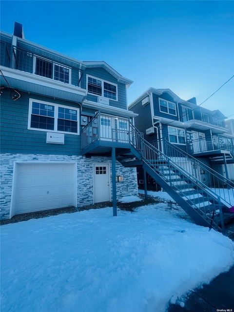
Welcome to 55 West 14th Road, a building located in Broad Channel, Queens in Far Rockaway, NY. As a quick overview, these are the most up-to-date information we've collected about the property. According to local assessors, the total value of the building is currently valued at $5,940. Specifically, the value of the land that the property sits on has been assessed at $5,940.

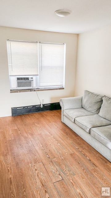
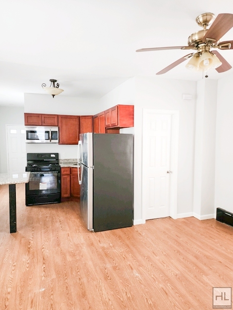
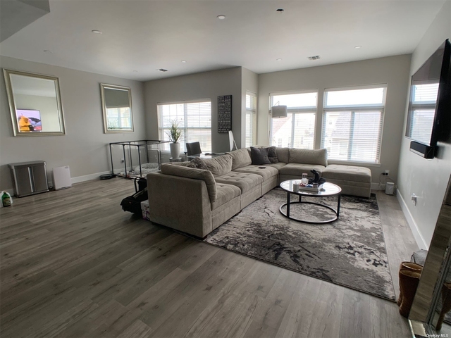
Here's what we know about the features and amenities in this building. While there is no garage access for residents, you will probably be able to find a local garage to park your car at instead. The code designated for the basement in this building was 5 which stands for: "". The local assessor's office has not provided us with information related to the roof cover material and the type of roof the building has.
Amenities
Doorman
Elevator
Laundry In Building
Common Outdoor Space
Storage Facility
Policies
Cats Allowed
Dogs Allowed
Facts
General
Year Built
0
Floor Count
0
Basement Type
5
Unit Count
Building Floor Area
Floor Area Ratios
Building Area Source
7
Building
Building Type
V0
Lot Type
2
Land Use
11
Irregular Lot Code
N
Sanborn Map Number
421 067
Ownership
Current Owner's Name
MINAMI THOMAS
Neighborhood
Census Block
1032
Community District
414
City Council District
32
Police Precinct
100
Fire Company
E266
Health Area
3612
Sanitation District Borough
4
Sanitation Subsection
2C
School District
27
Census Block Code
1032
Census Group
1
Census Year
2018
Census - Combined Statistical Area - Area Code
408
Census - Combined Statistical Area - Area Name
New York-Newark, NY-NJ-CT-PA
Census - County FIPS
36081
Census - Full FIPS
360811072011032
Census - Metropolitan Division - Area Code
35614
Census - Metropolitan Division - Area Name
New York-Jersey City-White Plains, NY-NJ
Census - Metro Micro Statistical Area - Area Code
35620
Census - Metro Micro Statistical Area - Area Name
New York-Newark-Jersey City, NY-NJ-PA
Census - Metro Micro Statistical Area - Area Type
metropolitan
Census - Place FIPS
3625450
Census Source
US Census Bureau
Census State FIPS
36
Census Tract 2010
107201
Census Tract Code
107201
School District - Unified - Grade High
12
School District - Unified - Grade Low
PK
School District - Unified - LEA Code
3620580
School District - Unified - Name
New York City Department Of Education
Zoning
Split Boundary Zone Indicator
N
Zoning
R3A
Special Purpose District 1
CR-1
Zoning Map Number
30c
Geography
Borough Name
QN
Borough Code
4
Block
15318
Lot
71
Borough Block Lot
4153180071
Apportionment BBL
4153180375
Apportionment Date
Mar 28, 2002
X Coordinates
1033458
Y Coordinates
159181
Valuation
Pluto Map ID
1
More About The Building
In comparison, the lot area is listed as 3,000 square feet. The depth of the property lot was measured at 100 square feet and the front at 30 square feet. Fun fact, were you aware that buildings can shift depending on temperatures outdoors? This might remind you of middle school science classes, but heat will cause most materials to expand while the cold will cause them to contract. As a result, many architects and engineers often have to make sure that control joints are made up of the right materials and in good condition. The building class code for 55 West 14th Road is unknown but given the importance of this information, we will work to update this data as soon as possible.

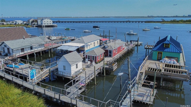
Interested in learning more about the neighborhood that the property is located in? Buildings in the Broad Channel area have a median price of $35,000. Those in the 25th percentile, have a price around $35,000. While those in the 75th percentile, have a price around $35,000. As a breakdown, we've included the following stats:

  • There are currently no studio listings being advertised in the area.
  • There is currently a single advertised one bedroom listing.
  • There are currently no two bedroom listings being advertised in the area.
  • There are currently no three bedroom listings being advertised in the area.
  • There are currently no four bedroom listings being advertised in the area.
About The Area
55 West 14th Road is located in Queens County, New York. There are 2,310,011 people living here. There are 779,304 households. Most of these households have an average family size of 3.57 people. According to the census, 56% are currently renting while 44% own their homes. The median age of this population is around 37.9 years old. On average, most folks in the county are unmarried. About 56% of folks speak a language other than English in this area. The area's employment rate is currently around 59.3%. Speaking of employment, the median income is $59,758. Most folks will commute by public transportation for around 43.0 minutes. Finally, we know that 27% of residents in the area have graduated with their high school degree. Additionally, 19% and 11% have their Bachelor's and Master's degree, respectfully.


-
Studio Median Rent
-
1BR Median Rent
-
2BR Median Rent
-
3BR Median Rent
PUBLIC TRANSIT
A
S
Broad Channel (0.45 mi - 11 min walk)
MTA New York City Transit

Nearby Schools

(within attendance boundary)
PS 47 CHRIS GALAS  •  0.23 mi
9 Power Rd, Broad Channel, NY 11693
Public  •  Elementary  •  Grades PK to 8
New York City Geographic District #27
IS 227 LOUIS ARMSTRONG  •  11.08 mi
32-02 Junction Blvd, East Elmhurst, NY 11369
Public  •  Middle School  •  Grades 5 to 8
New York City Geographic District #30
SCHOLARS' ACADEMY  •  1.35 mi
320 Beach 104th St, Rockaway Park, NY 11694
Public  •  High School  •  Grades 6 to 12
New York City Geographic District #27
School zoning information and other data are provided by RealtyHop Schools and 3rd party sources. The contents of the database are not guaranteed to be accurate or timely. Contact the schools or districts before making any decisions using on this data.
Similar Buildings
Fair Housing and Equal Opportunity
© 2009 - 2024 RentHop.com™
Quantcast