3346 Roselawn Road, San Antonio, TX 78226
Thompson, West Side, San Antonio Central
Nearby Active Listings
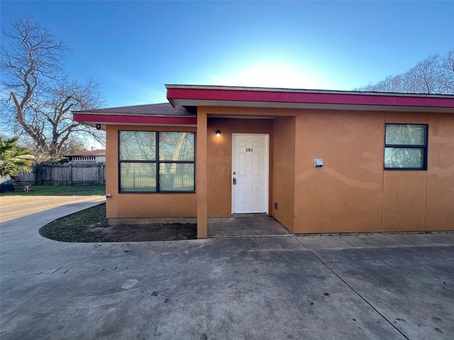
Welcome to 3346 Roselawn Road, a building located in Thompson, West Side, San Antonio Central in San Antonio, TX.
As a quick overview, these are the most up-to-date information we've collected about the property.
The building itself was built in 1974.
This is a single story building.
The market value for the land that the building sits on has been listed at $490,180.
In addition, improvements upon the building have an added value of $3,309,820.
In total, the total market value of the property as a whole is $3,800,000.
According to local assessors, the total value of the building is currently valued at $3,800,000.
Specifically, the value of the land that the property sits on has been assessed at $490,180.
The building was last assessed in 2023.
There are another one buildings located on the same land that 3346 Roselawn Road was built on.
Here's what we know about the features and amenities in this building.
While there is no garage access for residents, you will probably be able to find a local garage to park your car at instead.
We are not sure what system the building uses for cooling.
Sadly, informaton related to the heating system was not disclosed.
There is no porch or patio on the premise of the property.
For those who love to swim, you'll want to check out community pools nearby as this particular property does not have a swimming pool.
The local assessor's office has not provided us with information related to the roof cover material and the type of roof the building has.
Facts
Effective Year Built
1990
Building Condition
Average
Construction Type
unknown
Building Style
Multifamily
Exterior Walls Type
Brick
Interior Walls Type
unknown
Roof Cover Type
Composition shingle
Business/Commerical Units Count
88
Building
Property Class
Residential
Subdivision
BILLY SUB BL 7530
Standard Land Use Code
Multi-family dwellings (generic, 2+)
County Land Use Code
unknown
State Land Use Code
unknown
Legal Description 1
NCB 7530 BLK LOT 30 & W 60 FT OF N 157.99 FT OF TR-6 ARB P-103
Ownership
Current Owner's Name
DOLORES TERRAVISTA HOUSING LLC
Owner Address - City
LOS ANGELES
Owner Address - ZIP Code
90015
Owner Last Name
DOLORES TERRAVISTA HOUSING LLC
Current Owner Is a Corporation Indicator
Yes
Neighborhood
School District Name
Edgewood Independent School District
School Tax School District
52
Census - Combined Statistical Area - Area Code
484
Census - Combined Statistical Area - Area Name
San Antonio-New Braunfels-Pearsall, TX
Census - County FIPS
48029
Census - Full FIPS
480291607024013
Census - Metro Micro Statistical Area - Area Code
41700
Census - Metro Micro Statistical Area - Area Name
San Antonio-New Braunfels, TX
Census - Metro Micro Statistical Area - Area Type
metropolitan
Census - Place FIPS
4865000
Census Source
US Census Bureau
School District - Unified - Grade High
12
School District - Unified - Grade Low
PK
School District - Unified - LEA Code
4818150
School District - Unified - Name
Edgewood Independent School District
Geography
Assessors Map Reference
649B2
Subdivision Tract Number
6
Mailing Carrier Code
C019
Mailing Full Street Address
1038 VENICE BLVD
Mailing House Number
1038
Mailing 4-Digit Zip Code
3232
Valuation
Timestamp
2024-04-10 08:57:32
More About The Building
In total, the building area is listed as 55,016 square feet.
The building itself has 35,360 square footage of total floor area.
Fun fact, were you aware that buildings can shift depending on temperatures outdoors? This might remind you of middle school science classes, but heat will cause most materials to expand while the cold will cause them to contract. As a result, many architects and engineers often have to make sure that control joints are made up of the right materials and in good condition.
The building class code for 3346 Roselawn Road is unknown but given the importance of this information, we will work to update this data as soon as possible.
Interested in learning more about the neighborhood that the property is located in?
Buildings in the Thompson area have a median price of $900.
Those in the 25th percentile, have a price around $900.
While those in the 75th percentile, have a price around $900.
Typically, the buildings in this area have a median sqft of 600.
That means that the median price per sqft is around $2.
In other words, the price per sqft for buildings in the 25th percentile is $2.
While the price per sqft for buildings in the 75th percentile is $2.
As a breakdown, we've included the following stats:
- There are currently no studio listings being advertised in the area.
- There are currently no one bedroom listings being advertised in the area.
- There is currently a single advertised two bedroom listing.
- There are currently no three bedroom listings being advertised in the area.
- There are currently no four bedroom listings being advertised in the area.
About The Area
3346 Roselawn Road is located in 78226.
There are 6,071 people living here.
There are 2,320 households.
Most of these households have an average family size of 3.43 people.
According to the census, 61% are currently renting while 39% own their homes.
The median age of this population is around 38 years old.
On average, most folks in the zipcode are unmarried.
About 65% of folks speak a language other than English in this area.
The area's employment rate is currently around 53.5%.
Speaking of employment, the median income is $27,015.
Most folks will commute by car for around 24.4 minutes.
Finally, we know that 32% of residents in the area have graduated with their high school degree.
Additionally, 6% and 3% have their Bachelor's and Master's degree, respectfully.
Moving on to the county level.
Bexar County, Texas has a population of 1,858,699 people.
Based on census records, there are 623,321 registered households.
Families in this area are on average made up of 3.61 people per household.
Most folks are unmarried.
They are also typically around 33.2 years old.
Does diversity matter to you? Right now, 40% of folks speak a language other than English here.
About 42% rent while 58% purchased their homes.
Right now, the community is made up of 25% of residents who have graduated with at least a high school degree.
On top of that, 17% have a Bachelor's degree and 10% have a Master's degree.
The employment rate is currently around 59.5%.
Those employed, have a median income of $52,353.
Finally, let's take a look at the stats related to San Antonio, TX Urban Area.
The urban area is home to 1,914,755 people.
A total of 646,111 households are registered here.
With average family sizes being listed at 3.58 people.
About 25% of residents have graduated with a high school degree.
Of the rest, 18% have their Bachelor's and 10% have their Master's degree.
Folks speaking a language other than English, make up about 39% of the population.
Speaking of your commute, 59.7% of people in this area are employed.
The recorded median income is currently at $53,159 per year.
The median population age has been listed at 33.4 years old.
Interestingly enough, unmarried people make up the majority of the population.
Last but not least, renters make up about 42% of the population while homeowners are at about 58% of the population.
PUBLIC TRANSIT
GEN. MCMULLEN & ROSELAWN
(710 ft - 3 min walk)
VIA Metropolitan Transit
GEN. MCMULLEN & ROSELAWN
(840 ft - 4 min walk)
VIA Metropolitan Transit
ROSELAWN & GEN. MCMULLEN
(900 ft - 4 min walk)
VIA Metropolitan Transit
GEN. MCMULLEN OPP CALGARY
(920 ft - 4 min walk)
VIA Metropolitan Transit
GEN. MCMULLEN & CALGARY
(970 ft - 4 min walk)
VIA Metropolitan Transit
Nearby Schools
(within attendance boundary)
2500 S General Mcmullen Dr, San Antonio, TX 78226
Public
•
Elementary
•
Grades PK to 5
Edgewood Independent School District
1626 Thompson Pl, San Antonio, TX 78226
Public
•
Middle School
•
Grades 6 to 8
Edgewood Independent School District
1922 S General Mcmullen Dr, San Antonio, TX 78226
Public
•
High School
•
Grades 9 to 12
Edgewood Independent School District
School zoning information and other data are provided by
RealtyHop Schools and 3rd party sources.
The contents of the database are not guaranteed to be accurate or timely.
Contact the schools or districts before making any decisions using on this data.


