312 West 142nd Street, New York, NY 10030
Central Harlem, Upper Manhattan, Manhattan
5 Stories
15 Units
Built in 1910
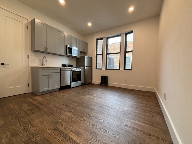
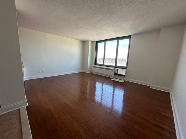
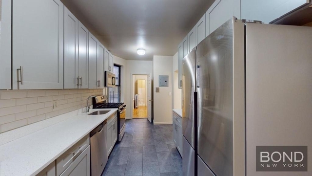
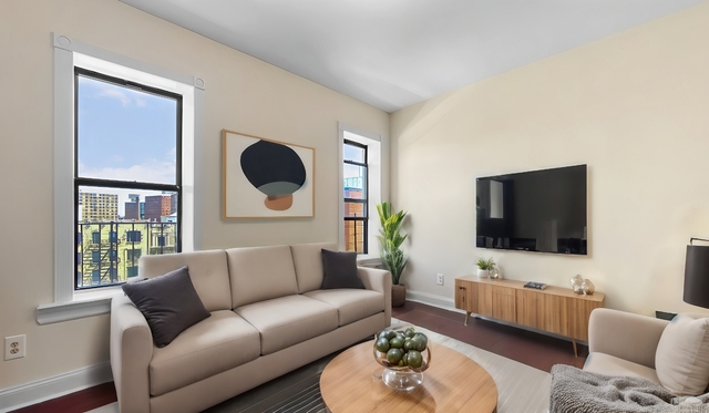
Nearby Active Listings
Welcome to 312 West 142nd Street, a building located in Central Harlem, Upper Manhattan, Manhattan in New York, NY.
As a quick overview, these are the most up-to-date information we've collected about the property.
The building itself was built in 1910.
From what we gather, there are a total 15 residential units.
Finally, 312 West 142nd Street was most recently sold on Mar 7, 2013 for $1,537,500.
The market value for the land that the building sits on has been listed at $250,000.
In addition, improvements upon the building have an added value of $1,437,000.
In total, the total market value of the property as a whole is $1,687,000.
According to local assessors, the total value of the building is currently valued at $728,100.
Specifically, the value of the land that the property sits on has been assessed at $112,500.
The building was last assessed in 2023.
Here's what we know about the features and amenities in this building.
While there is no garage access for residents, you will probably be able to find a local garage to park your car at instead.
We are not sure what system the building uses for cooling.
Sadly, informaton related to the heating system was not disclosed.
There is no porch or patio on the premise of the property.
For those who love to swim, you'll want to check out community pools nearby as this particular property does not have a swimming pool.
The local assessor's office has not provided us with information related to the roof cover material and the type of roof the building has.
Policies
Cats Allowed
Dogs Allowed
Facts
Effective Year Built
1993
Building Condition
unknown
Construction Type
unknown
Exterior Walls Type
unknown
Interior Walls Type
unknown
Residential Unit Count
15
Residential Building Floor Area
9,455
Building
Property Class
Residential
Standard Land Use Code
Residential income (general) (multi-family)
County Land Use Code
unknown
Sanborn Map Number
111S040
Ownership
Current Owner's Name
312 WEST 142ND STREET LLC
Neighborhood
Sanitation District Borough
1
School District Name
New York City Department Of Education
School Tax School District
MANHATTAN
Census - Combined Statistical Area - Area Code
408
Census - Combined Statistical Area - Area Name
New York-Newark, NY-NJ-CT-PA
Census - County FIPS
36061
Census - Full FIPS
360610259002003
Census - Metropolitan Division - Area Code
35614
Census - Metropolitan Division - Area Name
New York-Jersey City-White Plains, NY-NJ
Census - Metro Micro Statistical Area - Area Code
35620
Census - Metro Micro Statistical Area - Area Name
New York-Newark-Jersey City, NY-NJ-PA
Census - Metro Micro Statistical Area - Area Type
metropolitan
Census - Place FIPS
3651000
Census Source
US Census Bureau
School District - Unified - Grade High
12
School District - Unified - Grade Low
PK
School District - Unified - LEA Code
3620580
School District - Unified - Name
New York City Department Of Education
Zoning
Split Boundary Zone Indicator
N
Geography
Account Number
1-02043-0022
Borough Block Lot
1020430022
Mailing Carrier Code
C030
Mailing Full Street Address
666 OLD COUNTRY RD STE 301
Mailing Street
OLD COUNTRY
Mailing 4-Digit Zip Code
2014
Geo Status Code
Prior to setting the GEOsource field the default value was 'P'.
Valuation
Timestamp
2024-02-26 21:20:57
More About The Building
In total, the building area is listed as 9,455 square feet.
To break it down, the depth of the building was measured at 85 square feet and the front is listed as 25 square feet.
In comparison, the lot area is listed as 2,498 square feet.
The depth of the property lot was measured at 100 square feet and the front at 25 square feet.
The building itself has 9,455 square footage of total floor area.
Out of that, 9,455 square footage of floor area is residential. The rest of the space could be utilized as commercial, garage, factory, or alternative use space.
Fun fact, were you aware that buildings can shift depending on temperatures outdoors? This might remind you of middle school science classes, but heat will cause most materials to expand while the cold will cause them to contract. As a result, many architects and engineers often have to make sure that control joints are made up of the right materials and in good condition.
The building class code for 312 West 142nd Street is unknown but given the importance of this information, we will work to update this data as soon as possible.
Interested in learning more about the neighborhood that the property is located in?
Buildings in the Central Harlem area have a median price of $3,300.
Those in the 25th percentile, have a price around $2,750.
While those in the 75th percentile, have a price around $3,896.
Typically, the buildings in this area have a median sqft of 900.
That means that the median price per sqft is around $5.
In other words, the price per sqft for buildings in the 25th percentile is $4.
While the price per sqft for buildings in the 75th percentile is $5.
As a breakdown, we've included the following stats:
- There are currently a total of 17 studio listings.
The median price for these types of listings is $2,250.
That's $6.69 price per sqft.
- There are currently a total of 33 one bedroom listings.
The median price for these types of listings is $3,195.
That's $4.24 price per sqft.
- There are currently a total of 45 two bedroom listings.
The median price for these types of listings is $3,495.
That's $3.57 price per sqft.
- There are currently a total of 11 three bedroom listings.
The median price for these types of listings is $3,464.
- There are currently a total of 14 four bedroom listings.
The median price for these types of listings is $4,450.
That's $4.94 price per sqft.
About The Area
312 West 142nd Street is located in New York County, New York.
There are 1,634,989 people living here.
There are 753,385 households.
Most of these households have an average family size of 3.09 people.
According to the census, 77% are currently renting while 23% own their homes.
The median age of this population is around 36.7 years old.
On average, most folks in the county are unmarried.
About 40% of folks speak a language other than English in this area.
The area's employment rate is currently around 62.9%.
Speaking of employment, the median income is $75,513.
Most folks will commute by public transportation for around 31.4 minutes.
Finally, we know that 13% of residents in the area have graduated with their high school degree.
Additionally, 32% and 29% have their Bachelor's and Master's degree, respectfully.
Moving on to the urban area level.
New York - Newark, NY - NJ - CT Urban Area has a population of 18,812,161 people.
Based on census records, there are 6,707,347 registered households.
Families in this area are on average made up of 3.42 people per household.
Most folks are unmarried.
They are also typically around 37.8 years old.
Does diversity matter to you? Right now, 40% of folks speak a language other than English here.
About 50% rent while 50% purchased their homes.
Right now, the community is made up of 25% of residents who have graduated with at least a high school degree.
On top of that, 22% have a Bachelor's degree and 16% have a Master's degree.
The employment rate is currently around 59.7%.
Those employed, have a median income of $68,319.
$2,250
Studio Median Rent
PUBLIC TRANSIT
145 St
(0.25 mi - 6 min walk)
MTA New York City Transit
145 St
(0.25 mi - 6 min walk)
MTA New York City Transit
135 St
(0.29 mi - 7 min walk)
MTA New York City Transit
145 St
(0.42 mi - 10 min walk)
MTA New York City Transit
Harlem-148 St
(0.44 mi - 11 min walk)
MTA New York City Transit
Nearby Schools
(within attendance boundary)
301 W 140th St, New York, NY 10030
Public
•
Elementary
•
Grades PK to 8
New York City Geographic District # 5
625 W 133rd St, New York, NY 10031
Public
•
Middle School
•
Grades 6 to 8
New York City Geographic District # 5
2581 7th Ave, New York, NY 10039
Public
•
High School
•
Grades 6 to 12
New York City Geographic District # 5
School zoning information and other data are provided by
RealtyHop Schools and 3rd party sources.
The contents of the database are not guaranteed to be accurate or timely.
Contact the schools or districts before making any decisions using on this data.