2054 Sandy Ridge Road, East Saint Louis, IL 62206
Centreville, East Saint Louis
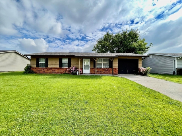
Nearby Active Listings
Welcome to 2054 Sandy Ridge Road, a building located in Centreville, East Saint Louis in East Saint Louis, IL.
As a quick overview, these are the most up-to-date information we've collected about the property.
The building itself was built in 1950.
This is a single story building.
Finally, 2054 Sandy Ridge Road was most recently sold on Oct 25, 2023 for $15,000.
The market value for the land that the building sits on has been listed at $1,500.
In addition, improvements upon the building have an added value of $21,228.
In total, the total market value of the property as a whole is $22,728.
According to local assessors, the total value of the building is currently valued at $7,576.
Specifically, the value of the land that the property sits on has been assessed at $500.
The building was last assessed in 2022.
Here's what we know about the features and amenities in this building.
While there is no garage access for residents, you will probably be able to find a local garage to park your car at instead.
We are not sure what system the building uses for cooling.
Sadly, informaton related to the heating system was not disclosed.
There is no porch or patio on the premise of the property.
For those who love to swim, you'll want to check out community pools nearby as this particular property does not have a swimming pool.
The local assessor's office has not provided us with information related to the roof cover material and the type of roof the building has.
Facts
Effective Year Built
1985
Bathroom Plumbing Fixtures
5
Building Condition
unknown
Construction Type
unknown
Exterior Walls Type
unknown
Interior Walls Type
unknown
Building
Property Class
Residential
Standard Land Use Code
Single family residential
County Land Use Code
unknown
Legal Description 1
SANDY RIDGE FARMS 1ST ADD PT LT 120 IN A02753425
Ownership
Current Owner
PUJALS ALEX
Current Owner's Name
PUJALS ALEX
Previous Owner
EKSTROM STEPHEN
Previous Owner's Name
EKSTROM STEPHEN
Owner Address - City
SOUTH MIAMI
Owner Address - ZIP Code
33143
Owner Before Previous Owner
ALLEN MARYA
Owner Before Previous Owner 2
ALLEN DANNIE
Vacant Flag
Address Standardization Based
Vacant Flag Date
Aug 23, 2023
Neighborhood
School District Name
Cahokia Community Unit School District 187
Census - Combined Statistical Area - Area Code
476
Census - Combined Statistical Area - Area Name
St. Louis-St. Charles-Farmington, MO-IL
Census - County FIPS
17163
Census - Full FIPS
171635026022028
Census - Metro Micro Statistical Area - Area Code
41180
Census - Metro Micro Statistical Area - Area Name
St. Louis, MO-IL
Census - Metro Micro Statistical Area - Area Type
metropolitan
Census - Place FIPS
1710370
Census Source
US Census Bureau
School District - Unified - Grade High
12
School District - Unified - Grade Low
PK
School District - Unified - LEA Code
1708040
School District - Unified - Name
Cahokia Community Unit School District 187
Geography
Mailing Carrier Code
C008
Mailing Street Direction
SW
Mailing Full Street Address
6640 SW 63RD AVE
Mailing House Number
6640
Mailing 4-Digit Zip Code
3323
Geo Status Code
Prior to setting the GEOsource field the default value was 'P'.
Valuation
Timestamp
2023-11-30 21:02:21
More About The Building
In total, the building area is listed as 904 square feet.
Fun fact, were you aware that buildings can shift depending on temperatures outdoors? This might remind you of middle school science classes, but heat will cause most materials to expand while the cold will cause them to contract. As a result, many architects and engineers often have to make sure that control joints are made up of the right materials and in good condition.
The building class code for 2054 Sandy Ridge Road is unknown but given the importance of this information, we will work to update this data as soon as possible.
Interested in learning more about the neighborhood that the property is located in?
Buildings in the East Saint Louis area have a median price of $1,175.
Those in the 25th percentile, have a price around $1,163.
While those in the 75th percentile, have a price around $1,188.
Typically, the buildings in this area have a median sqft of 1,136.
That means that the median price per sqft is around $1.
In other words, the price per sqft for buildings in the 25th percentile is $1.
While the price per sqft for buildings in the 75th percentile is $1.
As a breakdown, we've included the following stats:
- There are currently no studio listings being advertised in the area.
- There are currently no one bedroom listings being advertised in the area.
- There are currently no two bedroom listings being advertised in the area.
- There are currently a total of 2 three bedroom listings.
The median price for these types of listings is $1,175.
That's $1.04 price per sqft.
- There are currently no four bedroom listings being advertised in the area.
About The Area
2054 Sandy Ridge Road is located in St. Clair County, Illinois.
There are 265,569 people living here.
There are 102,672 households.
Most of these households have an average family size of 3.18 people.
According to the census, 35% are currently renting while 65% own their homes.
The median age of this population is around 37.8 years old.
On average, most folks in the county are unmarried.
About 5% of folks speak a language other than English in this area.
The area's employment rate is currently around 55.8%.
Speaking of employment, the median income is $50,006.
Most folks will commute by car for around 24.5 minutes.
Finally, we know that 28% of residents in the area have graduated with their high school degree.
Additionally, 16% and 10% have their Bachelor's and Master's degree, respectfully.
Moving on to the urban area level.
St. Louis, MO - IL Urban Area has a population of 2,161,427 people.
Based on census records, there are 863,825 registered households.
Families in this area are on average made up of 3.1 people per household.
Most folks are unmarried.
They are also typically around 38.1 years old.
Does diversity matter to you? Right now, 7% of folks speak a language other than English here.
About 34% rent while 66% purchased their homes.
Right now, the community is made up of 24% of residents who have graduated with at least a high school degree.
On top of that, 22% have a Bachelor's degree and 14% have a Master's degree.
The employment rate is currently around 61.4%.
Those employed, have a median income of $56,421.
PUBLIC TRANSIT
CAMP JACKSON @ LOUISE WB
(0.24 mi - 5 min walk)
Metro St. Louis
CAMP JACKSON @ JEROME WB
(0.25 mi - 6 min walk)
Metro St. Louis
CAMP JACKSON @ LOUISE EB
(0.25 mi - 6 min walk)
Metro St. Louis
CAMP JACKSON @ JEROME EB
(0.26 mi - 6 min walk)
Metro St. Louis
CAMP JACKSON @ POPLAR WB
(0.29 mi - 7 min walk)
Metro St. Louis
Nearby Schools
(within attendance boundary)
1820 Jerome Ln, Cahokia, IL 62206
Public
•
Elementary
•
Grades 3 to 5
Cahokia Community Unit School District 187
1900 Mousette Ln, Cahokia, IL 62206
Public
•
Middle School
•
Grades 6
Cahokia Community Unit School District 187
800 Range Ln, Cahokia, IL 62206
Public
•
High School
•
Grades 8 to 12
Cahokia Community Unit School District 187
School zoning information and other data are provided by
RealtyHop Schools and 3rd party sources.
The contents of the database are not guaranteed to be accurate or timely.
Contact the schools or districts before making any decisions using on this data.


