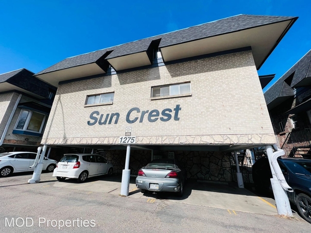
Welcome to 1691 Monroe Street, a building located in City Park, Northeast Denver, Denver in Denver, CO.
As a quick overview, these are the most up-to-date information we've collected about the property.
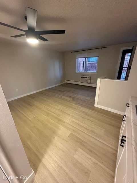
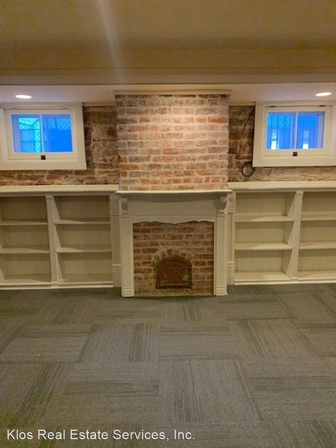
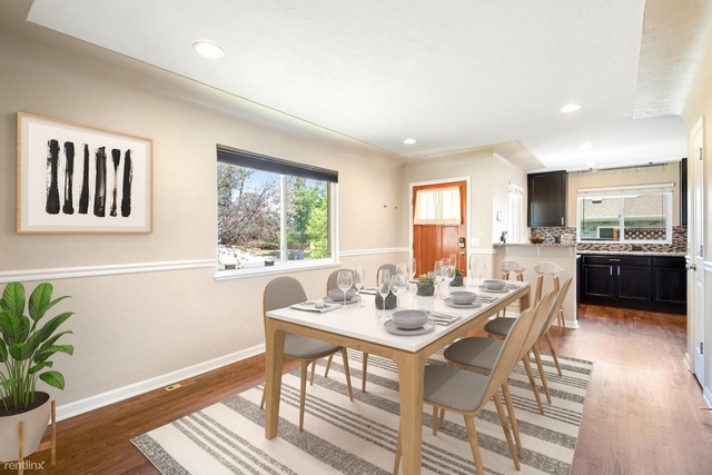
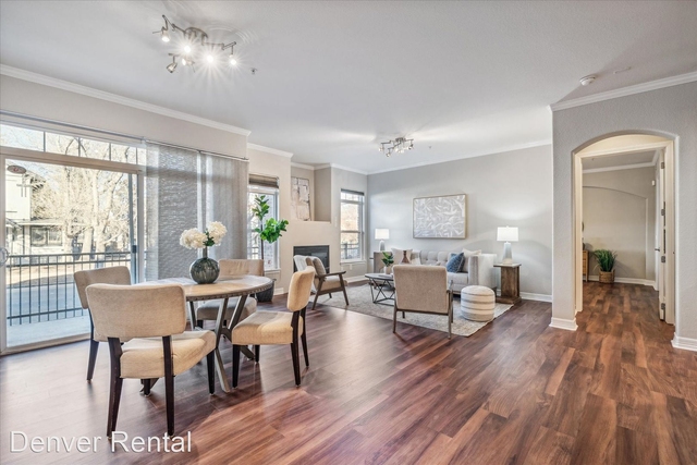
Here's what we know about the features and amenities in this building.
While there is no garage access for residents, you will probably be able to find a local garage to park your car at instead.
The local assessor's office has not provided us with information related to the roof cover material and the type of roof the building has.
More About The Building
Fun fact, were you aware that buildings can shift depending on temperatures outdoors? This might remind you of middle school science classes, but heat will cause most materials to expand while the cold will cause them to contract. As a result, many architects and engineers often have to make sure that control joints are made up of the right materials and in good condition.
The building class code for 1691 Monroe Street is unknown but given the importance of this information, we will work to update this data as soon as possible.
Interested in learning more about the neighborhood that the property is located in?
Buildings in the City Park area have a median price of $2,450.
Those in the 25th percentile, have a price around $2,300.
While those in the 75th percentile, have a price around $2,600.
Typically, the buildings in this area have a median sqft of 1,027.
That means that the median price per sqft is around $2.
In other words, the price per sqft for buildings in the 25th percentile is $2.
While the price per sqft for buildings in the 75th percentile is $3.
As a breakdown, we've included the following stats:
- There are currently no studio listings being advertised in the area.
- There is currently a single advertised one bedroom listing.
- There is currently a single advertised two bedroom listing.
- There are currently no three bedroom listings being advertised in the area.
- There are currently no four bedroom listings being advertised in the area.
About The Area
1691 Monroe Street is located in 80205.
There are 32,546 people living here.
There are 13,290 households.
Most of these households have an average family size of 3.28 people.
According to the census, 54% are currently renting while 46% own their homes.
The median age of this population is around 32.5 years old.
On average, most folks in the zipcode are unmarried.
About 23% of folks speak a language other than English in this area.
The area's employment rate is currently around 69.1%.
Speaking of employment, the median income is $57,836.
Most folks will commute by car for around 23.8 minutes.
Finally, we know that 15% of residents in the area have graduated with their high school degree.
Additionally, 31% and 15% have their Bachelor's and Master's degree, respectfully.
Moving on to the county level.
Denver County, Colorado has a population of 663,303 people.
Based on census records, there are 281,072 registered households.
Families in this area are on average made up of 3.21 people per household.
Most folks are unmarried.
They are also typically around 34.2 years old.
Does diversity matter to you? Right now, 27% of folks speak a language other than English here.
About 51% rent while 49% purchased their homes.
Right now, the community is made up of 18% of residents who have graduated with at least a high school degree.
On top of that, 28% have a Bachelor's degree and 18% have a Master's degree.
The employment rate is currently around 67%.
Those employed, have a median income of $56,258.
If you move here, you can expect to commute mostly by car for around 25.1 minutes.
Finally, let's take a look at the stats related to Denver - Aurora, CO Urban Area.
The urban area is home to 2,568,172 people.
A total of 986,434 households are registered here.
With average family sizes being listed at 3.22 people.
About 20% of residents have graduated with a high school degree.
Of the rest, 26% have their Bachelor's and 15% have their Master's degree.
Folks speaking a language other than English, make up about 21% of the population.
Looking to move to this urban area? You'll need to look forward to commuting by car for around 26.8 minutes.
Speaking of your commute, 67% of people in this area are employed.
The recorded median income is currently at $66,641 per year.
The median population age has been listed at 35.6 years old.
Interestingly enough, unmarried people make up the majority of the population.
Last but not least, renters make up about 38% of the population while homeowners are at about 62% of the population.
PUBLIC TRANSIT
17th Ave & Madison St
(Under 500 ft - 3 min walk)
Regional Transportation District
17th Ave & Garfield St
(Under 500 ft - 3 min walk)
Regional Transportation District
17th Ave & Garfield St
(510 ft - 3 min walk)
Regional Transportation District
17th Ave & Cook St
(530 ft - 3 min walk)
Regional Transportation District
17th Ave & Steele St
(0.23 mi - 5 min walk)
Regional Transportation District