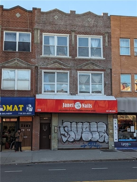
Welcome to 1521 West 7th Street, a building located in Bensonhurst, Southwestern Brooklyn, Brooklyn in Brooklyn, NY.
As a quick overview, these are the most up-to-date information we've collected about the property.
The building itself was built in 1989.
There are a total of 3 floors.
From what we gather, there are a total 3 residential units.
According to local assessors, the total value of the building is currently valued at $80,400.
Specifically, the value of the land that the property sits on has been assessed at $15,360.
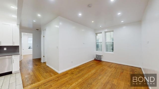
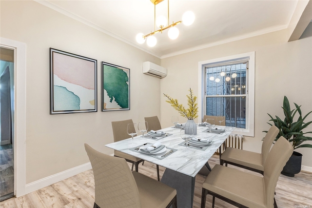
Here's what we know about the features and amenities in this building.
While there is no garage access for residents, you will probably be able to find a local garage to park your car at instead.
The code designated for the basement in this building was 1 which stands for: "".
The local assessor's office has not provided us with information related to the roof cover material and the type of roof the building has.
More About The Building
To break it down, the depth of the building was measured at 55 square feet and the front is listed as 20 square feet.
In comparison, the lot area is listed as 2,000 square feet.
The depth of the property lot was measured at 100 square feet and the front at 20 square feet.
The building itself has 3,650 square footage of total floor area.
Out of that, 2,750 square footage of floor area is residential. The rest of the space could be utilized as commercial, garage, factory, or alternative use space.
Fun fact, were you aware that buildings can shift depending on temperatures outdoors? This might remind you of middle school science classes, but heat will cause most materials to expand while the cold will cause them to contract. As a result, many architects and engineers often have to make sure that control joints are made up of the right materials and in good condition.
The building class code for 1521 West 7th Street is unknown but given the importance of this information, we will work to update this data as soon as possible.
Interested in learning more about the neighborhood that the property is located in?
Buildings in the Bensonhurst area have a median price of $3,000.
Those in the 25th percentile, have a price around $2,750.
While those in the 75th percentile, have a price around $5,400.
Typically, the buildings in this area have a median sqft of 1,160.
That means that the median price per sqft is around $3.
In other words, the price per sqft for buildings in the 25th percentile is $3.
While the price per sqft for buildings in the 75th percentile is $4.
As a breakdown, we've included the following stats:
- There are currently a total of 8 studio listings.
The median price for these types of listings is $5,475.
That's $3.32 price per sqft.
- There are currently no one bedroom listings being advertised in the area.
- There are currently a total of 5 two bedroom listings.
The median price for these types of listings is $2,800.
That's $3.85 price per sqft.
- There are currently a total of 4 three bedroom listings.
The median price for these types of listings is $2,875.
That's $3.00 price per sqft.
- There are currently no four bedroom listings being advertised in the area.
About The Area
1521 West 7th Street is located in Kings County, New York.
There are 2,606,852 people living here.
There are 938,803 households.
Most of these households have an average family size of 3.46 people.
According to the census, 71% are currently renting while 29% own their homes.
The median age of this population is around 34.5 years old.
On average, most folks in the county are unmarried.
About 46% of folks speak a language other than English in this area.
The area's employment rate is currently around 57.8%.
Speaking of employment, the median income is $50,640.
Most folks will commute by public transportation for around 42.0 minutes.
Finally, we know that 26% of residents in the area have graduated with their high school degree.
Additionally, 21% and 13% have their Bachelor's and Master's degree, respectfully.
Moving on to the urban area level.
New York - Newark, NY - NJ - CT Urban Area has a population of 18,812,161 people.
Based on census records, there are 6,707,347 registered households.
Families in this area are on average made up of 3.42 people per household.
Most folks are unmarried.
They are also typically around 37.8 years old.
Does diversity matter to you? Right now, 40% of folks speak a language other than English here.
About 50% rent while 50% purchased their homes.
Right now, the community is made up of 25% of residents who have graduated with at least a high school degree.
On top of that, 22% have a Bachelor's degree and 16% have a Master's degree.
The employment rate is currently around 59.7%.
Those employed, have a median income of $68,319.
$5,475
Studio Median Rent
PUBLIC TRANSIT
Bay Pkwy
(740 ft - 3 min walk)
MTA New York City Transit
Kings Hwy
(0.42 mi - 10 min walk)
MTA New York City Transit
Avenue P
(0.42 mi - 10 min walk)
MTA New York City Transit
Avenue N
(0.50 mi - 12 min walk)
MTA New York City Transit
20 Av
(0.56 mi - 14 min walk)
MTA New York City Transit