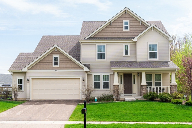
Welcome to 14973 Mt Hunger Road, a building located in Townsend Woods, Sycamore in Sycamore, IL.
As a quick overview, these are the most up-to-date information we've collected about the property.
Here's what we know about the features and amenities in this building.
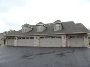
While there is no garage access for residents, you will probably be able to find a local garage to park your car at instead.
The local assessor's office has not provided us with information related to the roof cover material and the type of roof the building has.
More About The Building
Fun fact, were you aware that buildings can shift depending on temperatures outdoors? This might remind you of middle school science classes, but heat will cause most materials to expand while the cold will cause them to contract. As a result, many architects and engineers often have to make sure that control joints are made up of the right materials and in good condition.
The building class code for 14973 Mt Hunger Road is unknown but given the importance of this information, we will work to update this data as soon as possible.
Interested in learning more about the neighborhood that the property is located in?
Buildings in the Townsend Woods area have a median price of $2,100.
Those in the 25th percentile, have a price around $2,100.
While those in the 75th percentile, have a price around $2,100.
Typically, the buildings in this area have a median sqft of 2,500.
That means that the median price per sqft is around $10.
In other words, the price per sqft for buildings in the 25th percentile is $10.
While the price per sqft for buildings in the 75th percentile is $10.
As a breakdown, we've included the following stats:
- There are currently no studio listings being advertised in the area.
- There are currently no one bedroom listings being advertised in the area.
- There are currently no two bedroom listings being advertised in the area.
- There are currently no three bedroom listings being advertised in the area.
- There is currently a single advertised four bedroom listing.
About The Area
14973 Mt Hunger Road is located in 60178.
There are 22,207 people living here.
There are 8,552 households.
Most of these households have an average family size of 3.15 people.
According to the census, 32% are currently renting while 68% own their homes.
The median age of this population is around 37.8 years old.
On average, most folks in the zipcode are married.
About 8% of folks speak a language other than English in this area.
The area's employment rate is currently around 65.4%.
Speaking of employment, the median income is $70,603.
Most folks will commute by car for around 25.1 minutes.
Finally, we know that 21% of residents in the area have graduated with their high school degree.
Additionally, 22% and 15% have their Bachelor's and Master's degree, respectfully.
Moving on to the county level.
DeKalb County, Illinois has a population of 104,458 people.
Based on census records, there are 37,367 registered households.
Families in this area are on average made up of 3.25 people per household.
Most folks are unmarried.
They are also typically around 30.5 years old.
Does diversity matter to you? Right now, 11% of folks speak a language other than English here.
About 43% rent while 57% purchased their homes.
Right now, the community is made up of 26% of residents who have graduated with at least a high school degree.
On top of that, 19% have a Bachelor's degree and 12% have a Master's degree.
The employment rate is currently around 62.4%.
Those employed, have a median income of $56,076.
Finally, let's take a look at the stats related to DeKalb, IL Urban Area.
The urban area is home to 67,816 people.
A total of 23,938 households are registered here.
With average family sizes being listed at 3.27 people.
About 22% of residents have graduated with a high school degree.
Of the rest, 23% have their Bachelor's and 15% have their Master's degree.
Folks speaking a language other than English, make up about 14% of the population.
Speaking of your commute, 61.3% of people in this area are employed.
The recorded median income is currently at $50,384 per year.
The median population age has been listed at 27.1 years old.
Interestingly enough, unmarried people make up the majority of the population.
Last but not least, renters make up about 50% of the population while homeowners are at about 50% of the population.
PUBLIC TRANSIT
Lucas St at N Maple St (Opportunity House) - EB Stop #315
(0.81 mi - 20 min walk)
DeKalb Public Transit
E. State St at S Governor St (Family Dollar) - WB - Stop #330
(0.84 mi - 21 min walk)
DeKalb Public Transit
N. Maple St at Opportunity House residence - NB Stop #310
(0.87 mi - 21 min walk)
DeKalb Public Transit
E. State St at N. Main St (Public Library) - WB Stop #335
(0.96 mi - 23 min walk)
DeKalb Public Transit
E. State St at N. Main St (Post Office) - EB Stop #325
(0.98 mi - 24 min walk)
DeKalb Public Transit