1425 Lasalle Avenue, Minneapolis, MN 55403
Loring Park, Central Minneapolis, Minneapolis
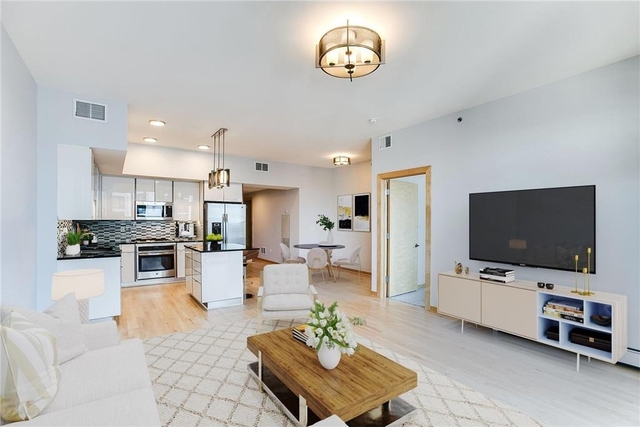
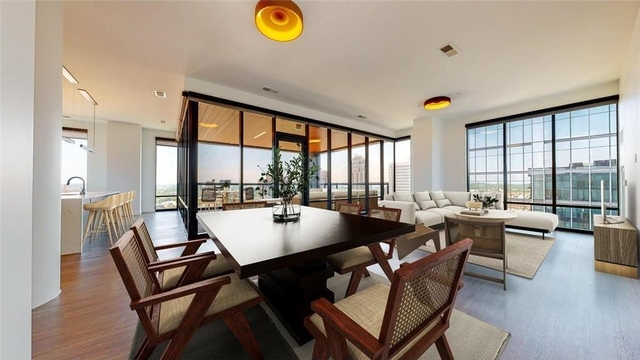
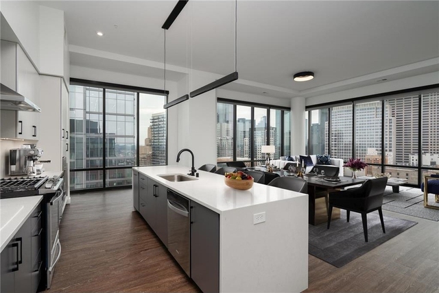
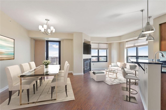
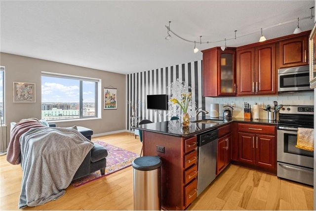
Nearby Active Listings
Welcome to 1425 Lasalle Avenue, a building located in Loring Park, Central Minneapolis, Minneapolis in Minneapolis, MN.
As a quick overview, these are the most up-to-date information we've collected about the property.
The building itself was built in 1914.
There are a total of 4 floors.
Finally, 1425 Lasalle Avenue was most recently sold on Oct 4, 2007 for $2,360,000.
The market value for the land that the building sits on has been listed at $591,200.
In addition, improvements upon the building have an added value of $3,451,300.
In total, the total market value of the property as a whole is $4,042,500.
According to local assessors, the total value of the building is currently valued at $4,042,500.
Specifically, the value of the land that the property sits on has been assessed at $591,200.
The building was last assessed in 2022.
Here's what we know about the features and amenities in this building.
While there is no garage access for residents, you will probably be able to find a local garage to park your car at instead.
We are not sure what system the building uses for cooling.
Sadly, informaton related to the heating system was not disclosed.
There is no porch or patio on the premise of the property.
For those who love to swim, you'll want to check out community pools nearby as this particular property does not have a swimming pool.
The local assessor's office has not provided us with information related to the roof cover material and the type of roof the building has.
Facts
Effective Year Built
1914
Building Condition
Average
Exterior Walls Type
Brick
Interior Walls Type
unknown
Roof Cover Type
Tar and gravel
Basement Type
Unspecified basement
Garage Type
Paved and surfaced
Building
Property Class
Residential
Subdivision
J S JOHNSONS ADDN TO MPLS
Standard Land Use Code
Apartments (generic)
County Land Use Code
unknown
Legal Description 1
004 J S JOHNSONS ADDN TO MPLS W 70 FT OF LOTS 6 AND 7 132 X 70
Ownership
Current Owner
SOLEIL PROPERTIES LLC
Current Owner's Name
SOLEIL PROPERTIES LLC
Previous Owner
14TH STREET VENTURES LLC
Previous Owner's Name
14TH STREET VENTURES LLC
Owner Address - City
MINNEAPOLIS
Owner Address - ZIP Code
55403
Owner Before Previous Owner
PERGOLA TRUST LLC
Ownership Rights Codes
Company/Corporation
Current Owner Is a Corporation Indicator
Yes
Neighborhood
School District Name
Minneapolis Public School District
School Tax School District
MINNEAPOLIS
Census - Combined Statistical Area - Area Code
378
Census - Combined Statistical Area - Area Name
Minneapolis-St. Paul, MN-WI
Census - County FIPS
27053
Census - Full FIPS
270531052043002
Census - Metro Micro Statistical Area - Area Code
33460
Census - Metro Micro Statistical Area - Area Name
Minneapolis-St. Paul-Bloomington, MN-WI
Census - Metro Micro Statistical Area - Area Type
metropolitan
Census - Place FIPS
2743000
Census Source
US Census Bureau
School District - Unified - Grade High
12
School District - Unified - Grade Low
PK
School District - Unified - LEA Code
2721240
School District - Unified - Name
Minneapolis Public School District
Geography
Assessors Map Reference
MB:09970
Meridian
SEC 27 QTR 31 TWN 029 RNG 24
Mailing Carrier Code
C009
Mailing Full Street Address
1425 LASALLE AVE # 100
Mailing House Number
1425
Mailing 4-Digit Zip Code
2344
Valuation
Timestamp
2023-06-15 15:10:31
More About The Building
In total, the building area is listed as 20,160 square feet.
The depth of the property lot was measured at 700 square feet and the front at 1,320 square feet.
The building itself has 20,160 square footage of total floor area.
Fun fact, were you aware that buildings can shift depending on temperatures outdoors? This might remind you of middle school science classes, but heat will cause most materials to expand while the cold will cause them to contract. As a result, many architects and engineers often have to make sure that control joints are made up of the right materials and in good condition.
The building class code for 1425 Lasalle Avenue is unknown but given the importance of this information, we will work to update this data as soon as possible.
Interested in learning more about the neighborhood that the property is located in?
Buildings in the Loring Park area have a median price of $1,150.
Those in the 25th percentile, have a price around $1,150.
While those in the 75th percentile, have a price around $1,150.
Typically, the buildings in this area have a median sqft of 742.
That means that the median price per sqft is around $2.
In other words, the price per sqft for buildings in the 25th percentile is $2.
While the price per sqft for buildings in the 75th percentile is $2.
As a breakdown, we've included the following stats:
- There are currently no studio listings being advertised in the area.
- There is currently a single advertised one bedroom listing.
- There are currently no two bedroom listings being advertised in the area.
- There are currently no three bedroom listings being advertised in the area.
- There are currently no four bedroom listings being advertised in the area.
About The Area
1425 Lasalle Avenue is located in 55403.
There are 16,245 people living here.
There are 10,924 households.
Most of these households have an average family size of 2.35 people.
According to the census, 80% are currently renting while 20% own their homes.
The median age of this population is around 32.7 years old.
On average, most folks in the zipcode are unmarried.
About 16% of folks speak a language other than English in this area.
The area's employment rate is currently around 71.7%.
Speaking of employment, the median income is $40,614.
Most folks will commute by car for around 21.2 minutes.
Finally, we know that 12% of residents in the area have graduated with their high school degree.
Additionally, 38% and 25% have their Bachelor's and Master's degree, respectfully.
Moving on to the county level.
Hennepin County, Minnesota has a population of 1,209,265 people.
Based on census records, there are 493,832 registered households.
Families in this area are on average made up of 3.09 people per household.
Most folks are unmarried.
They are also typically around 36.2 years old.
Does diversity matter to you? Right now, 17% of folks speak a language other than English here.
About 38% rent while 62% purchased their homes.
Right now, the community is made up of 18% of residents who have graduated with at least a high school degree.
On top of that, 31% have a Bachelor's degree and 17% have a Master's degree.
The employment rate is currently around 68.3%.
Those employed, have a median income of $67,989.
If you move here, you can expect to commute mostly by car for around 23.2 minutes.
Finally, let's take a look at the stats related to Minneapolis - St. Paul, MN - WI Urban Area.
The urban area is home to 2,765,726 people.
A total of 1,080,214 households are registered here.
With average family sizes being listed at 3.15 people.
About 20% of residents have graduated with a high school degree.
Of the rest, 28% have their Bachelor's and 15% have their Master's degree.
Folks speaking a language other than English, make up about 16% of the population.
Looking to move to this urban area? You'll need to look forward to commuting by car for around 24.2 minutes.
Speaking of your commute, 68.5% of people in this area are employed.
The recorded median income is currently at $69,937 per year.
The median population age has been listed at 36.1 years old.
Interestingly enough, unmarried people make up the majority of the population.
Last but not least, renters make up about 33% of the population while homeowners are at about 67% of the population.
PUBLIC TRANSIT
Nicollet Ave S & 15th St E
(Under 500 ft - 3 min walk)
Metro Transit, Metro Transit (Met Council), Maple Grove, Plymouth, SouthWest Transit, Airport (MAC), University of Minnesota, Catch the Link
Nicollet Ave S & 15th St E
(Under 500 ft - 3 min walk)
Metro Transit, Metro Transit (Met Council), Maple Grove, Plymouth, SouthWest Transit, Airport (MAC), University of Minnesota, Catch the Link
Nicollet Ave S & 16th St E
(Under 500 ft - 3 min walk)
Metro Transit, Metro Transit (Met Council), Maple Grove, Plymouth, SouthWest Transit, Airport (MAC), University of Minnesota, Catch the Link
Nicollet Ave S & 16th St / Hwy 94
(580 ft - 3 min walk)
Metro Transit, Metro Transit (Met Council), Maple Grove, Plymouth, SouthWest Transit, Airport (MAC), University of Minnesota, Catch the Link
Nicollet Ave S & Grant St E
(620 ft - 3 min walk)
Metro Transit, Metro Transit (Met Council), Maple Grove, Plymouth, SouthWest Transit, Airport (MAC), University of Minnesota, Catch the Link
Nearby Schools
(within attendance boundary)
2013 Penn Ave S, Minneapolis, MN 55405
Public
•
Elementary
•
Grades KG to 5
Minneapolis Public School District
5757 Irving Ave S, Minneapolis, MN 55419
Public
•
Middle School
•
Grades 6 to 8
Minneapolis Public School District
3414 W 47th St, Minneapolis, MN 55410
Public
•
High School
•
Grades 9 to 12
Minneapolis Public School District
School zoning information and other data are provided by
RealtyHop Schools and 3rd party sources.
The contents of the database are not guaranteed to be accurate or timely.
Contact the schools or districts before making any decisions using on this data.