11051 West 63rd Place, Arvada, CO 80004
Allendale Area, Jefferson
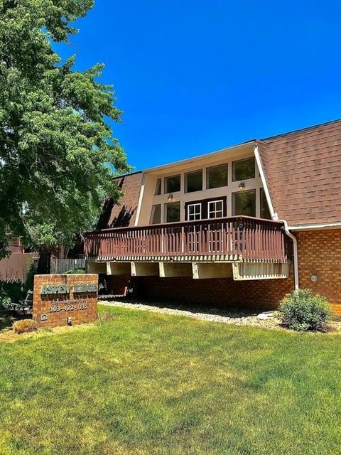
Welcome to 11051 West 63rd Place, a building located in Allendale Area, Jefferson in Arvada, CO.
As a quick overview, these are the most up-to-date information we've collected about the property.
The building itself was built in 1969.
There are a total of 3 floors.
Finally, 11051 West 63rd Place was most recently sold on Sep 19, 2007 for $4,775,000.
The market value for the land that the building sits on has been listed at $104,562.
In addition, improvements upon the building have an added value of $19,022,238.
In total, the total market value of the property as a whole is $19,126,800.
According to local assessors, the total value of the building is currently valued at $1,281,496.
Specifically, the value of the land that the property sits on has been assessed at $7,006.
The building was last assessed in 2023.
There are another one buildings located on the same land that 11051 West 63rd Place was built on.
Here's what we know about the features and amenities in this building.
While there is no garage access for residents, you will probably be able to find a local garage to park your car at instead.
We are not sure what system the building uses for cooling.
Sadly, informaton related to the heating system was not disclosed.
There is no porch or patio on the premise of the property.
For those who love to swim, you'll want to check out community pools nearby as this particular property does not have a swimming pool.
The local assessor's office has not provided us with information related to the roof cover material and the type of roof the building has.
Policies
Cats Allowed
Dogs Allowed
Facts
Effective Year Built
1969
Building Condition
Average
Construction Type
unknown
Exterior Walls Type
Wood siding
Interior Walls Type
unknown
Building
Building Type
Wood &/or steel frames
Property Class
Recreational
Standard Land Use Code
Park, playground, picnic area
County Land Use Code
unknown
State Land Use Code
unknown
Legal Description 1
SECTION 09 TOWNSHIP 03 RANGE 69 SUBDIVISIONCD 625800 SUBDIVISIONNAME RALSTON PARK BLOCK 00B LOT SIZE: 276048 TRACT 00A VALUE: 6.337
Ownership
Current Owner
JEFFERSON COUNTY HOUSING AUTHORITY
Current Owner's Name
JEFFERSON COUNTY HOUSING AUTHORITY
Previous Owner
COLORADO HOUSING & FINANCE AUTHORITY
Owner Address - City
WHEAT RIDGE
Owner Address - ZIP Code
80033
Owner Last Name
JEFFERSON COUNTY HOUSING AUTHO
Current Owner Is a Corporation Indicator
Yes
Neighborhood
School District Name
Jefferson County School District R-1
Census - Combined Statistical Area - Area Code
216
Census - Combined Statistical Area - Area Name
Denver-Aurora, CO
Census - County FIPS
08059
Census - Full FIPS
080590103071003
Census - Metro Micro Statistical Area - Area Code
19740
Census - Metro Micro Statistical Area - Area Name
Denver-Aurora-Lakewood, CO
Census - Metro Micro Statistical Area - Area Type
metropolitan
Census - Place FIPS
0803455
Census Source
US Census Bureau
School District - Unified - Grade High
12
School District - Unified - Grade Low
PK
School District - Unified - LEA Code
0804800
School District - Unified - Name
Jefferson County School District R-1
Geography
Subdivision Tract Number
A
Meridian
SEC 09 TWN 03S RNG 69W
Mailing Carrier Code
C012
Mailing Street Direction
W
Mailing Full Street Address
7490 W 45TH AVE
Mailing House Number
7490
Mailing 4-Digit Zip Code
3461
Valuation
Timestamp
2024-04-10 20:18:33
More About The Building
In total, the building area is listed as 98,122 square feet.
The building itself has 98,122 square footage of total floor area.
Fun fact, were you aware that buildings can shift depending on temperatures outdoors? This might remind you of middle school science classes, but heat will cause most materials to expand while the cold will cause them to contract. As a result, many architects and engineers often have to make sure that control joints are made up of the right materials and in good condition.
The building class code for 11051 West 63rd Place is unknown but given the importance of this information, we will work to update this data as soon as possible.
Interested in learning more about the neighborhood that the property is located in?
Buildings in the Allendale Area area have a median price of $1,319.
Those in the 25th percentile, have a price around $1,319.
While those in the 75th percentile, have a price around $1,319.
As a breakdown, we've included the following stats:
- There are currently no studio listings being advertised in the area.
- There are currently a total of 2 one bedroom listings.
The median price for these types of listings is $1,319.
- There are currently no two bedroom listings being advertised in the area.
- There are currently no three bedroom listings being advertised in the area.
- There are currently no four bedroom listings being advertised in the area.
About The Area
11051 West 63rd Place is located in 80004.
There are 37,152 people living here.
There are 14,915 households.
Most of these households have an average family size of 3 people.
According to the census, 29% are currently renting while 71% own their homes.
The median age of this population is around 41.4 years old.
On average, most folks in the zipcode are married.
About 7% of folks speak a language other than English in this area.
The area's employment rate is currently around 64.4%.
Speaking of employment, the median income is $70,968.
Most folks will commute by car for around 26.2 minutes.
Finally, we know that 25% of residents in the area have graduated with their high school degree.
Additionally, 22% and 12% have their Bachelor's and Master's degree, respectfully.
Moving on to the county level.
Jefferson County, Colorado has a population of 558,810 people.
Based on census records, there are 225,320 registered households.
Families in this area are on average made up of 2.98 people per household.
Most folks are married.
They are also typically around 40.5 years old.
Does diversity matter to you? Right now, 11% of folks speak a language other than English here.
About 30% rent while 70% purchased their homes.
Right now, the community is made up of 21% of residents who have graduated with at least a high school degree.
On top of that, 27% have a Bachelor's degree and 15% have a Master's degree.
The employment rate is currently around 65.9%.
Those employed, have a median income of $72,017.
Finally, let's take a look at the stats related to Denver - Aurora, CO Urban Area.
The urban area is home to 2,568,172 people.
A total of 986,434 households are registered here.
With average family sizes being listed at 3.22 people.
About 20% of residents have graduated with a high school degree.
Of the rest, 26% have their Bachelor's and 15% have their Master's degree.
Folks speaking a language other than English, make up about 21% of the population.
Speaking of your commute, 67% of people in this area are employed.
The recorded median income is currently at $66,641 per year.
The median population age has been listed at 35.6 years old.
Interestingly enough, unmarried people make up the majority of the population.
Last but not least, renters make up about 38% of the population while homeowners are at about 62% of the population.
PUBLIC TRANSIT
W 64th Ave & Quail St
(580 ft - 3 min walk)
Regional Transportation District
W 64th Ave & Oak St
(580 ft - 3 min walk)
Regional Transportation District
W 64th Ave & Oak St
(810 ft - 3 min walk)
Regional Transportation District
W 64th Ave & Quail St
(820 ft - 3 min walk)
Regional Transportation District
Ralston Rd & Miller St
(0.32 mi - 8 min walk)
Regional Transportation District
Nearby Schools
(within attendance boundary)
5900 Oak Street, Arvada, CO 80004
Public
•
Elementary
•
Grades PK to 5
Jefferson County School District R-1
12550 West 52nd Avenue, Arvada, CO 80002
Public
•
Middle School
•
Grades 6 to 8
Jefferson County School District R-1
11595 Allendale Drive, Arvada, CO 80004
Public
•
High School
•
Grades 9 to 12
Jefferson County School District R-1
School zoning information and other data are provided by
RealtyHop Schools and 3rd party sources.
The contents of the database are not guaranteed to be accurate or timely.
Contact the schools or districts before making any decisions using on this data.


