10800 State Hwy 151, San Antonio, TX 78251
Far West Side, San Antonio West
Nearby Active Listings
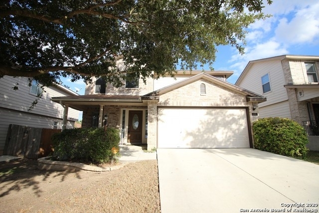
650 Lynx Mtn
Sierra Springs, Far West Side, San Antonio West
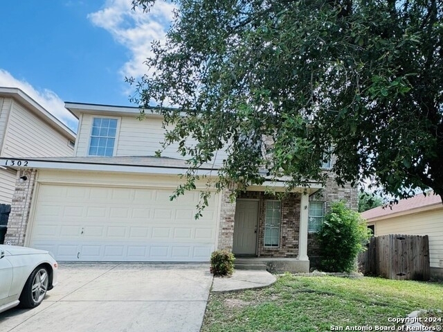
1302 Bobcat Pass
Spring Vistas - Sierra Springs, Far West Side, San Antonio West
Welcome to 10800 State Hwy 151, a building located in Far West Side, San Antonio West in San Antonio, TX.
As a quick overview, these are the most up-to-date information we've collected about the property.
The building itself was built in 1996.
This is a single story building.
Finally, 10800 State Hwy 151 was most recently sold on Oct 18, 2021 for $27,500,000.
The market value for the land that the building sits on has been listed at $3,756,210.
In addition, improvements upon the building have an added value of $19,043,790.
In total, the total market value of the property as a whole is $22,800,000.
According to local assessors, the total value of the building is currently valued at $22,800,000.
Specifically, the value of the land that the property sits on has been assessed at $3,756,210.
The building was last assessed in 2023.
There are another one buildings located on the same land that 10800 State Hwy 151 was built on.
Here's what we know about the features and amenities in this building.
While there is no garage access for residents, you will probably be able to find a local garage to park your car at instead.
We are not sure what system the building uses for cooling.
Sadly, informaton related to the heating system was not disclosed.
There is no porch or patio on the premise of the property.
For those who love to swim, you'll want to check out community pools nearby as this particular property does not have a swimming pool.
The local assessor's office has not provided us with information related to the roof cover material and the type of roof the building has.
Policies
Cats Allowed
Dogs Allowed
Facts
Effective Year Built
1996
Construction Type
Concrete
Building Style
Multifamily
Exterior Walls Type
Rock and stone
Interior Walls Type
unknown
Roof Cover Type
Composition shingle
Business/Commerical Units Count
396
Building
Property Class
Residential
Subdivision
BERKELEY ESTATES SUB
Standard Land Use Code
Multi-family dwellings (generic, 2+)
County Land Use Code
unknown
State Land Use Code
unknown
Legal Description 1
NCB 17641 BLK 1 LOT 43 BERKELEY ESTATES SUBD
Ownership
Current Owner
CONTIGO WIL TWO THRIVE LTD
Current Owner's Name
CONTIGO WIL TWO THRIVE LTD
Current Owner 2
TJWISE ENTERPRISES LLC
Current Owner 2's Name
TJWISE ENTERPRISES LLC
Previous Owner
CONTIGO SA THRIVE LTD
Previous Owner's Name
CONTIGO SA THRIVE LTD
Owner Address - City
AUSTIN
Owner Address - ZIP Code
78733
Second Owner Is a Corporation
Yes
Owner Before Previous Owner
BERKELEY ESTATES LTD
Ownership Rights Codes
Tenants in Common
Current Owner Is a Corporation Indicator
Yes
Neighborhood
School District Name
Northside Independent School District
School Tax School District
56
Census - County FIPS
48029
Census - Full FIPS
480291719181013
Census - Metro Micro Statistical Area - Area Code
41700
Census - Metro Micro Statistical Area - Area Name
San Antonio-New Braunfels, TX
Census - Metro Micro Statistical Area - Area Type
metropolitan
Census - Place FIPS
4865000
Census Source
US Census Bureau
School District - Unified - Grade High
12
School District - Unified - Grade Low
PK
School District - Unified - LEA Code
4833120
School District - Unified - Name
Northside Independent School District
Geography
Assessors Map Reference
578D8
Mailing Carrier Code
R021
Mailing Street Direction
N
Mailing Full Street Address
809 N CUERNAVACA DR
Mailing Street
CUERNAVACA
Mailing 4-Digit Zip Code
3217
Valuation
Timestamp
2024-01-24 06:29:43
More About The Building
In total, the building area is listed as 193,583 square feet.
The building itself has 68,761 square footage of total floor area.
Fun fact, were you aware that buildings can shift depending on temperatures outdoors? This might remind you of middle school science classes, but heat will cause most materials to expand while the cold will cause them to contract. As a result, many architects and engineers often have to make sure that control joints are made up of the right materials and in good condition.
The building class code for 10800 State Hwy 151 is unknown but given the importance of this information, we will work to update this data as soon as possible.
Interested in learning more about the neighborhood that the property is located in?
Buildings in the Far West Side area have a median price of $1,898.
Those in the 25th percentile, have a price around $1,695.
While those in the 75th percentile, have a price around $2,200.
Typically, the buildings in this area have a median sqft of 1,783.
That means that the median price per sqft is around $1.
In other words, the price per sqft for buildings in the 25th percentile is $1.
While the price per sqft for buildings in the 75th percentile is $1.
As a breakdown, we've included the following stats:
- There are currently no studio listings being advertised in the area.
- There are currently no one bedroom listings being advertised in the area.
- There are currently a total of 21 two bedroom listings.
The median price for these types of listings is $1,155.
That's $1.38 price per sqft.
- There are currently a total of 104 three bedroom listings.
The median price for these types of listings is $1,763.
That's $1.13 price per sqft.
- There are currently a total of 59 four bedroom listings.
The median price for these types of listings is $2,300.
That's $0.95 price per sqft.
About The Area
10800 State Hwy 151 is located in Bexar County, Texas.
There are 1,858,699 people living here.
There are 623,321 households.
Most of these households have an average family size of 3.61 people.
According to the census, 42% are currently renting while 58% own their homes.
The median age of this population is around 33.2 years old.
On average, most folks in the county are unmarried.
About 40% of folks speak a language other than English in this area.
The area's employment rate is currently around 59.5%.
Speaking of employment, the median income is $52,353.
Most folks will commute by car for around 24.7 minutes.
Finally, we know that 25% of residents in the area have graduated with their high school degree.
Additionally, 17% and 10% have their Bachelor's and Master's degree, respectfully.
Moving on to the urban area level.
San Antonio, TX Urban Area has a population of 1,914,755 people.
Based on census records, there are 646,111 registered households.
Families in this area are on average made up of 3.58 people per household.
Most folks are unmarried.
They are also typically around 33.4 years old.
Does diversity matter to you? Right now, 39% of folks speak a language other than English here.
About 42% rent while 58% purchased their homes.
Right now, the community is made up of 25% of residents who have graduated with at least a high school degree.
On top of that, 18% have a Bachelor's degree and 10% have a Master's degree.
The employment rate is currently around 59.7%.
Those employed, have a median income of $53,159.
If you move here, you can expect to commute mostly by car for around 24.6 minutes.
PUBLIC TRANSIT
ELLISON OPP. VALE MIDDLE SCHOOL
(0.34 mi - 8 min walk)
VIA Metropolitan Transit
ELLISON DR. & WESTOVER HILLS
(0.37 mi - 9 min walk)
VIA Metropolitan Transit
SEA WORLD OF TEXAS MAIN ENTRANCE
(0.53 mi - 13 min walk)
VIA Metropolitan Transit
MILITARY DR. W. & ELLISON DR.
(0.69 mi - 17 min walk)
VIA Metropolitan Transit
MILITARY OPPOSITE SEASCAPE
(0.69 mi - 17 min walk)
VIA Metropolitan Transit
Nearby Schools
(within attendance boundary)
1000 Seascape Dr, San Antonio, TX 78251
Public
•
Elementary
•
Grades PK to 5
Northside Independent School District
2120 N Ellison Dr, San Antonio, TX 78251
Public
•
Middle School
•
Grades 6 to 8
Northside Independent School District
600 Ellison N, San Antonio, TX 78251
Public
•
High School
•
Grades 9 to 12
Northside Independent School District
School zoning information and other data are provided by
RealtyHop Schools and 3rd party sources.
The contents of the database are not guaranteed to be accurate or timely.
Contact the schools or districts before making any decisions using on this data.